Overview
The Southern Risk Assessment Portal is a free, easy-to-use website with information, data and resources to help homeowners and communities understand, identify and reduce their wildfire risk.
Wildfires continue to threaten people and property across the South. As the population grows, our communities are rapidly expanding into the wildland urban interface. Increasing effects of long-term drought and increased fuel loading conditions across the state present major concerns for communities in these areas. Fire has long since been an important part of our ecosystem, and adapting our communities to live with fire is imperative as we continue to expand into wildland areas. Our goal is to empower homeowners and communities to take action in reducing their vulnerability to wildfire by giving them the necessary tools to identify and understand their risk.
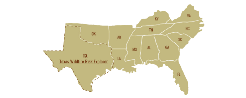
The Southern Group of State Foresters (SGSF) is a 501 (c)(3) non-profit corporation representing state forestry agencies within the 13 southeastern United States, and the U.S. territories of Puerto Rico and the Virgin Islands. SGSF members collectively provide leadership, coordination, expertise and resources to sustain the economic, environmental, health and societal benefits of southern forests. This includes the delivery of regional support needed to address existing and emerging issues related to sustainable forest management, forest health, water resources, urban and community forestry, forest product markets, wildfire protection, conservation education and disaster response.
Tools
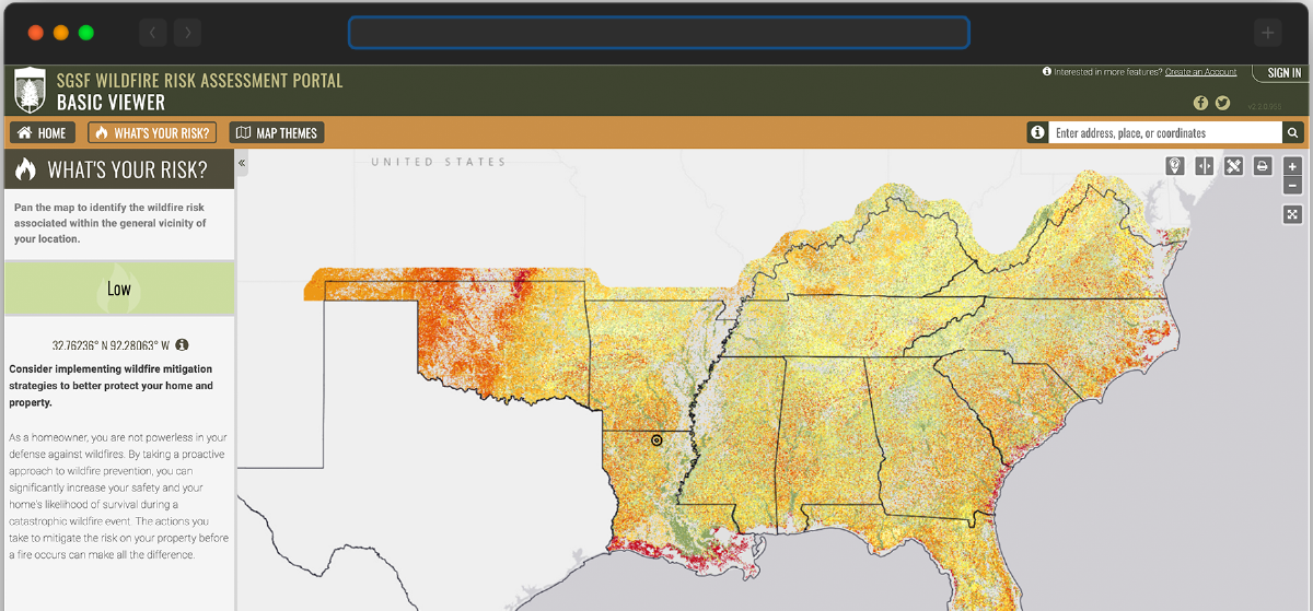
Southern Wildfire Risk Explorer
The Southern Wildfire Risk Explorer (known as the “Risk Explorer”) is the primary mechanism to deploy wildfire risk information and create awareness about wildfire issues across the state. It is comprised of a suite of applications tailored to support specific workflow and information requirements for the public, local community groups, private landowners, government officials, hazard-mitigation planners, and wildland fire managers. Collectively these applications will provide the baseline information needed to support mitigation and prevention efforts across the state.
The Southern Wildfire Risk Explorer data layers and information include: wildfire threat, wildland urban interface, surface fuels, historic wildfire ignitions, fire behavior, and much more.
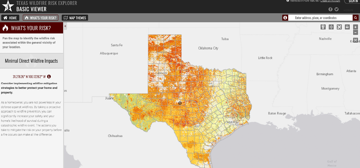
Texas Wildfire Risk Explorer
The Texas Wildfire Risk Explorer (known as the “Risk Explorer”) is the primary mechanism for Texas A&M Forest Service to deploy wildfire risk information and create awareness about wildfire issues across the state. Texas completed a statewide wildfire risk assessment using fine resolution custom fuel mapping generated from high-resolution satellite imagery. All wildfire hazard data are provided at 10-m resolution. This application is tailored to support specific workflow and information requirements for the public, local community groups, private landowners, government officials, hazard-mitigation planners, and wildland fire managers. The application also provides the baseline information needed to support mitigation and prevention efforts across the state.
The Texas Wildfire Risk Explorer data layers and information include: wildfire hazard, wildland urban interface, surface fuels, historic wildfire ignitions, fire behavior, and much more.
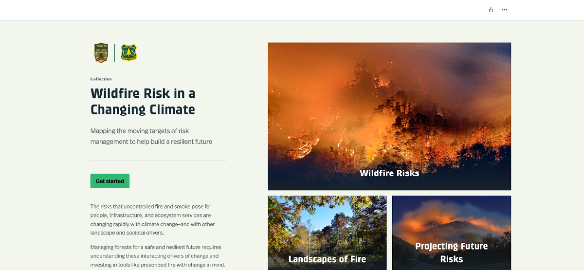
Climate Change Story Map
The risks that uncontrolled fire and smoke pose for people, infrastructure, and ecosystem services are changing rapidly with climate change–and with other landscape and societal drivers. Managing forests for a safe and resilient future requires understanding these interacting drivers of change, and investing in tools like prescribed fire with change in mind.
This site allows users to explore an assessment of changing wildfire risks in forests of the Southern United States.
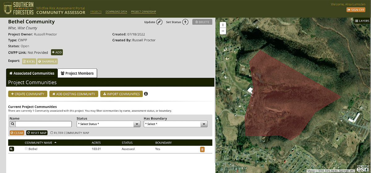
Southern Community Assessor
The Southern Community Assessor is a web-mapping application that allows approved assessors to create and manage wildfire risk assessments at the community or subdivision level. All information is collected using standardized forms and is stored in a centralized database to extract community wildfire risk information within an area such as a city or county. Access to the Community Assessor requires a valid SouthWRAP user account and role.
What’s New in South WRAP
Key enhancements achieved as part of this project include:
Advanced Weather Modeling:
Integration of a comprehensive range of gridded weather conditions, expanding from the previous four percentile weather categories to 216 conditions.
Updated Vegetation and Fuel Data:
Reflecting current conditions and recent disturbances, including wildfires, prescribed fires, and fuel treatment activities.
Enhanced Data Layers:
Utilizing the latest advancements in wildfire hazard modeling to generate new, high-resolution data layers.
Fine Resolution Burn Probability Mapping:
A 30-meter resolution burn probability map, ensuring consistency with other wildfire hazard products.
Ember Modeling:
Identification of both ember-producing areas and those most impacted by lofted embers.
Fire Behavior Analysis:
Providing results for both "characteristic" fire season conditions and the "average worst" conditions, reflecting fire behavior under the most extreme 5% of weather scenarios.
Updated Housing Unit Maps:
Utilizing improved building footprint datasets and recent U.S. Census data.
Redesigned Project Area Report:
Featuring summaries for 24 data layers, enhancing its utility for wildfire hazard mitigation and planning activities.
